Blue Ridge Parkway by RV: Tunnels, Campgrounds, Closures

In this guide
You can drive the Blue Ridge Parkway in an RV, but your roof height decides how much of it you can drive. From the northern end to Little Switzerland there is one tunnel in 333 miles. South of Asheville the tunnels come one after another, and the last stretch before Cherokee has the three lowest: Big Witch at 11 feet 7 inches and Lickstone Ridge at 11 feet 8 inches at the edge of the lane. Plenty of motorhomes and fifth wheels are taller than that, and they have to leave the parkway before milepost 458. The campgrounds take long rigs (several have sites rated 40 feet and up) but have no hookups, and in 2026 only six of the eight opened.
The figures below come from the National Park Service’s tunnel heights page, its road status page as of October 28, 2026, and the per-site data on Recreation.gov. The tunnel table was last updated by the park in 2021; tunnels do not grow, but repaving can change a clearance, so read it again before you go.
How to read the tunnel numbers
The NPS lists two heights for each tunnel: the edgeline (the lowest point, over the white line at the edge of your lane) and the centerline (the top of the arch). The centerline figures are all above 17 feet, and that is the number people quote when they say “the tunnels are fine.” It does not help you. The park is explicit that crossing the center line is illegal and dangerous, and that you should detour if the minimum height does not clear your vehicle.
An arched tunnel is lower at the edges, and an RV is widest and tallest at the roof corners and the air conditioner, so measure:
- Park on level ground and measure to the highest point: the top of the AC shroud, a satellite dome, a roof rack or a raised solar panel.
- Add a margin for bounce on the approach and anything stowed on top. The NPS publishes no margin; many drivers use several inches.
- Compare that number with the edgeline figure, not the centerline.
The park notes that “many, but not all” tunnels have 14 feet 0 inches at the edgeline. In fact 16 of the 26 are below 14 feet. Tunnels are unlit and shared with cyclists; the park says not to pass a cyclist inside one.

Every tunnel, by milepost
| Milepost | Tunnel | Length | Edgeline (minimum) | Centerline |
|---|---|---|---|---|
| 53.1 | Bluff Mountain (VA) | 630 ft | 13 ft 1 in | 18 ft 6 in |
| 333.1 | Little Switzerland | 575 ft | 14 ft 3 in | 19 ft 2 in |
| 336.8 | Wildacres | 350 ft | 13 ft 5 in | 19 ft 1 in |
| 344.5 | Twin Tunnel (North) | 350 ft | 13 ft 10 in | 19 ft 0 in |
| 344.7 | Twin Tunnel (South) | 407 ft | 14 ft 6 in | 18 ft 11 in |
| 349.0 | Rough Ridge | 182 ft | 13 ft 8 in | 18 ft 11 in |
| 364.4 | Craggy Pinnacle | 246 ft | 13 ft 0 in | 18 ft 10 in |
| 365.5 | Craggy Flats | 403 ft | 14 ft 4 in | 18 ft 7 in |
| 374.4 | Tanbark Ridge | 843 ft | 14 ft 3 in | 19 ft 1 in |
| 397.1 | Grassy Knob | 802 ft | 14 ft 3 in | 18 ft 6 in |
| 399.1 | Pine Mountain | 1,462 ft | 14 ft 3 in | 18 ft 8 in |
| 400.9 | Ferrin Knob #1 | 605 ft | 13 ft 6 in | 18 ft 8 in |
| 401.3 | Ferrin Knob #2 | 457 ft | 13 ft 9 in | 18 ft 8 in |
| 401.5 | Ferrin Knob #3 | 402 ft | 13 ft 10 in | 18 ft 10 in |
| 403.0 | Young Pisgah Ridge | 418 ft | 14 ft 2 in | 18 ft 10 in |
| 404.0 | Fork Mountain | 392 ft | 14 ft 2 in | 18 ft 7 in |
| 406.9 | Little Pisgah Ridge | 583 ft | 13 ft 4 in | 18 ft 9 in |
| 407.3 | Buck Spring | 468 ft | 13 ft 2 in | 18 ft 5 in |
| 410.1 | Frying Pan | 582 ft | 13 ft 6 in | 19 ft 0 in |
| 422.1 | Devil’s Courthouse | 721 ft | 14 ft 2 in | 18 ft 8 in |
| 439.7 | Pinnacle Ridge | 859 ft | 13 ft 7 in | 18 ft 7 in |
| 458.8 | Lickstone Ridge | 406 ft | 11 ft 8 in | 17 ft 7 in |
| 459.3 | Bunches Bald | 290 ft | 12 ft 3 in | 18 ft 0 in |
| 461.2 | Big Witch | 353 ft | 11 ft 7 in | 18 ft 0 in |
| 465.6 | Rattlesnake Mountain | 415 ft | 14 ft 8 in | 19 ft 3 in |
| 466.2 | Sherrill Cove | 590 ft | 13 ft 11 in | 19 ft 1 in |
Source: NPS tunnel heights, read October 28, 2026. Bold marks the lowest tunnel in each stretch.
Which stretches your rig can drive
Group the table by section and the decision gets simple. The minimum is the lowest edgeline clearance you meet in that section:
| Section | Mileposts | Tunnels | Lowest edgeline |
|---|---|---|---|
| Rockfish Gap (I-64) to Little Switzerland | 0 to 333 | 1 (Bluff Mountain) | 13 ft 1 in |
| Little Switzerland to Craggy Gardens and Asheville | 333 to 382 | 8 | 13 ft 0 in (part of it closed in 2026) |
| South of Asheville to Beech Gap | 393 to 440 | 12 | 13 ft 2 in |
| Waterrock Knob area to Cherokee | 458 to 469 | 5 | 11 ft 7 in |
So a rig that measures a safe margin under 13 feet can run almost the whole parkway, but must exit before milepost 458 unless it is also under 11 feet 7 inches with margin. A rig over about 13 feet should treat Bluff Mountain in Virginia and every North Carolina tunnel section as off-limits and drive the open stretches between them, which is still most of the parkway’s length. Our sister site’s guide to RV length classes explains the rig types if you are still choosing one.
The NPS tells drivers who do not clear a tunnel to detour around that section and points to the parkway map for alternate routes. Interstates and US highways cross the parkway at numbered junctions, so plan your exit before you reach the tunnel, not at the portal, where there is rarely room to turn a trailer.
Driving the parkway in a big rig
The road itself was built for touring cars. The NPS driving safety page lists what that means for an RV:
- Speed limit mostly 45 mph, dropping to 35 or 25 in places, and strictly enforced.
- Steep grades where speed builds faster than drivers expect. Downshift and use engine or exhaust braking; our sister site covers mountain grades and brakes.
- Narrow, unforgiving shoulders and decreasing-radius curves that tighten partway through.
- Pull over often. The park asks large RVs to use the overlooks to let faster traffic pass. There are more than 250.
There is no entrance fee. Buses are allowed without a permit. One rule catches RVers: you may not sleep in a vehicle at an overlook, and camping is allowed only in the designated campgrounds.
2026 closures after Hurricane Helene
On the NPS road status page for October 28, 2026:
- Mileposts 344.2 to 355.3, NC Highway 80 to Mount Mitchell State Park: closed, with recreation of any kind prohibited. This section contains three of the tunnels in the table above (Twin North, Twin South and Rough Ridge).
- Milepost 63.5 to 63.9 around the James River Bridge in Virginia: closed for rehabilitation, with a signed detour from milepost 61.4 to 64.
- Roanoke Mountain Loop (milepost 120.3): closed until further notice.
- Mileposts 261.2 to 305.1 near Boone and Blowing Rock: open, with short single-lane closures for a Great American Outdoors Act project.
- Linville Falls and Crabtree Falls campgrounds: closed for all of 2026. Hiking is prohibited at Crabtree Falls. Linn Cove Visitor Center is temporarily closed.
Sections marked “ungated” on the status page are open except in emergencies. The road is open all year in principle, but snow and ice close high sections in winter, and the page changes daily, so check it the morning you drive.
Campgrounds: six open, no hookups
The parkway has eight campgrounds, all run by the NPS, all closed in winter. Every one has potable water, flush toilets and a dump station; none has electric, water or sewer at the site. Showers are only at Julian Price and Mount Pisgah. Non-campers pay $6 to use a shower or dump station. Sites were $30 a night in 2026, half price for the site a Senior or Access passholder occupies; see our America the Beautiful pass guide for how that discount works. Reservations open up to six months ahead on Recreation.gov.
| Campground | Milepost | 2026 status | RV-capable sites | Rated 40 ft+ | Notes |
|---|---|---|---|---|---|
| Otter Creek (VA) | 60.8 | May 22 to Oct 25 | 24 | 8 | Lowest point on the parkway, 649 ft; all sites reservable |
| Peaks of Otter (VA) | 85.9 | May 22 to Oct 25 | 53 | 11 | 60 reservable, 79 first-come; lodge and store nearby |
| Rocky Knob (VA) | 167.1 | May 22 to Oct 25 | 81 | 11 (rated 45 ft) | Most sites rated under 25 ft |
| Doughton Park (NC) | 239.2 | May 22 to Oct 25 | 39 | 11 | 3,688 ft |
| Julian Price (NC) | 297.0 | Loop A May 22 to Oct 25 | 97 | 17 | Showers; 115 first-come sites |
| Linville Falls (NC) | 316.4 | Closed 2026 | n/a | n/a | Helene damage |
| Crabtree Falls (NC) | 339.5 | Closed 2026 | n/a | n/a | Helene damage |
| Mount Pisgah (NC) | 408.8 | May 22 to Oct 25 | 61 | 14 | 4,980 ft; showers; often full on weekends |
Sources: the NPS camping page, the NPS campgrounds data, and the per-site maximum vehicle lengths on each Recreation.gov listing, read October 28, 2026. “RV-capable” counts sites with any RV length listed.

Two notes on the length data. First, the limit that counts is the one on the individual site, and most sites at every campground are shorter than the headline figure; at Rocky Knob, for example, 24 sites are rated 17 feet. Second, a few pull-through sites show lengths of 60 to 90 feet, which look like driveway lengths rather than a promise that a 60-foot combination will make the loop roads; we could not confirm which. Filter by your length on Recreation.gov and read each site’s driveway type before booking.
Mount Pisgah is the one to watch for a tall rig: it sits at milepost 408.8, south of Asheville, in the middle of the tunnel run. Arriving from Asheville means Grassy Knob, Pine Mountain, three Ferrin Knob tunnels, Young Pisgah Ridge, Fork Mountain, Little Pisgah Ridge and Buck Spring, down to 13 feet 2 inches at the edgeline. Rigs over that should not plan on Pisgah at all.

Julian Price, near Blowing Rock, is the biggest campground and the easiest for a tall rig: there are no tunnels between it and Virginia. Peaks of Otter and Otter Creek in Virginia are south of the parkway’s only Virginia tunnel, Bluff Mountain (13 feet 1 inch) at milepost 53.1. A rig over that height should skip the first 53 miles from Rockfish Gap and join the parkway south of the tunnel; after that it is tunnel-free all the way to Little Switzerland.
If you need power, the NPS itself points to state parks, national forests and private campgrounds in the towns along the route. A portable power station or quiet generator covers a few nights of dry camping; check the campground’s posted generator hours.
Connecting to Shenandoah and the Smokies
The parkway’s northern end at Rockfish Gap meets Skyline Drive, which has its own tunnel at Marys Rock; our Shenandoah Skyline Drive RV guide has that figure. The southern end at milepost 469 meets US-441 at Cherokee, the route into the Great Smokies. If you are leaving the parkway early to avoid the low tunnels, Cherokee and Gatlinburg have plenty of hookup parks: see Smoky Mountains RV parks in Gatlinburg, Townsend and Cherokee and the in-park options in our Great Smoky Mountains RV camping guide.
When to go
The campgrounds run from late May to late October. Fall color typically peaks in mid to late October, according to the NPS, which is also when weekends are busiest. Winter drivers will find the campgrounds closed and high sections gated for snow and ice.
Mistakes to avoid
- Using the centerline height. It is the top of the arch and you cannot legally drive there.
- Measuring to the roof instead of the AC. The air conditioner, vents and satellite dome are what hit first.
- Following GPS through the last 11 miles to Cherokee. Lickstone Ridge and Big Witch are under 11 feet 8 inches at the edgeline.
- Planning a Linville Falls or Crabtree Falls night in 2026. Both campgrounds were closed all season.
- Overnighting at an overlook. It is not allowed.
- Counting on fuel along the parkway. The NPS sends travelers to its directory and travel planner for gas in the nearby towns; fill up before a long stretch.
Gear that helps on this drive
As an Amazon Associate we earn from qualifying purchases.
 Stanley 25 ft tape measure: measure your rig to the top of the air conditioner before you compare it with the tunnel table.
 Garmin RV 795 GPS navigator: RV routing lets you enter your height, which matters when a phone app sends you toward the low tunnels near Cherokee.$434.99Price as of November 16, 2026, 9:59 AM ET. Prices and availability are accurate as of the date/time indicated and are subject to change.
 Lynx Levelers 11-pack with cap: the parkway’s campground sites are paved but rarely flat, and there are no hookups to compensate.$33.18Price as of November 16, 2026, 9:59 AM ET. Prices and availability are accurate as of the date/time indicated and are subject to change.
 Camco Rhino 21-gallon portable tote tank: stretches a dry-camping stay between dump station visits.$209.99Price as of November 16, 2026, 9:59 AM ET. Prices and availability are accurate as of the date/time indicated and are subject to change.
Tunnel heights, campground dates and closures in this guide were read from NPS and Recreation.gov pages on October 28, 2026. Check the road status page the day you drive.
Frequently asked questions
Can an RV fit through the Blue Ridge Parkway tunnels?
It depends on your height, measured to the top of the roof air conditioner. The NPS lists the clearance of all 26 tunnels at the edge of the road and at the centerline. The lowest edgeline clearance is 11 feet 7 inches at Big Witch Tunnel (milepost 461.2), and 16 of the 26 are under 14 feet at the edgeline. Crossing the center line to use the taller middle of the arch is illegal, so plan on the edgeline figure and detour if your rig is taller.
Where are the tunnels on the Blue Ridge Parkway?
One is in Virginia, Bluff Mountain at milepost 53.1 (13 ft 1 in at the edgeline). The other 25 are in North Carolina between milepost 333 and milepost 467: a cluster around Little Switzerland and Craggy Gardens, a run of 12 south of Asheville through the Pisgah and Devil's Courthouse area, and five in the last 11 miles to Cherokee, including the three lowest. There are no tunnels between milepost 53.1 and milepost 333.
Are there RV hookups on the Blue Ridge Parkway?
No. The parkway's campgrounds have water, flush toilets and a dump station but no electric, water or sewer hookups at the sites. Showers are only at Julian Price and Mount Pisgah. For hookups, the NPS points RVers to state parks, national forests and private campgrounds in nearby towns.
Which Blue Ridge Parkway campgrounds are open?
In 2026, six of the eight: Otter Creek, Peaks of Otter, Rocky Knob, Doughton Park, Julian Price and Mount Pisgah, each from May 22 to October 25. Linville Falls and Crabtree Falls stayed closed all year because of Hurricane Helene damage. Sites were $30 a night, half price with a Senior or Access pass, and all parkway campgrounds close for winter.
Is the Blue Ridge Parkway open after Hurricane Helene?
Most of it. As of October 28, 2026, the NPS listed the section from NC Highway 80 to Mount Mitchell State Park (mileposts 344.2 to 355.3) as closed for Helene damage, with recreation of any kind prohibited, plus a short closure around the James River Bridge in Virginia and single-lane work zones near Blowing Rock. The road status page is updated daily.
Can you sleep in an RV at a Blue Ridge Parkway overlook?
No. The NPS says camping is allowed only in the parkway's designated campgrounds and that sleeping in a vehicle overnight is not allowed. Backcountry campers and Appalachian Trail hikers who need to leave a vehicle overnight must call the parkway's communications center first.
Keep planning
- Acadia RV Camping Including Schoodic Woods
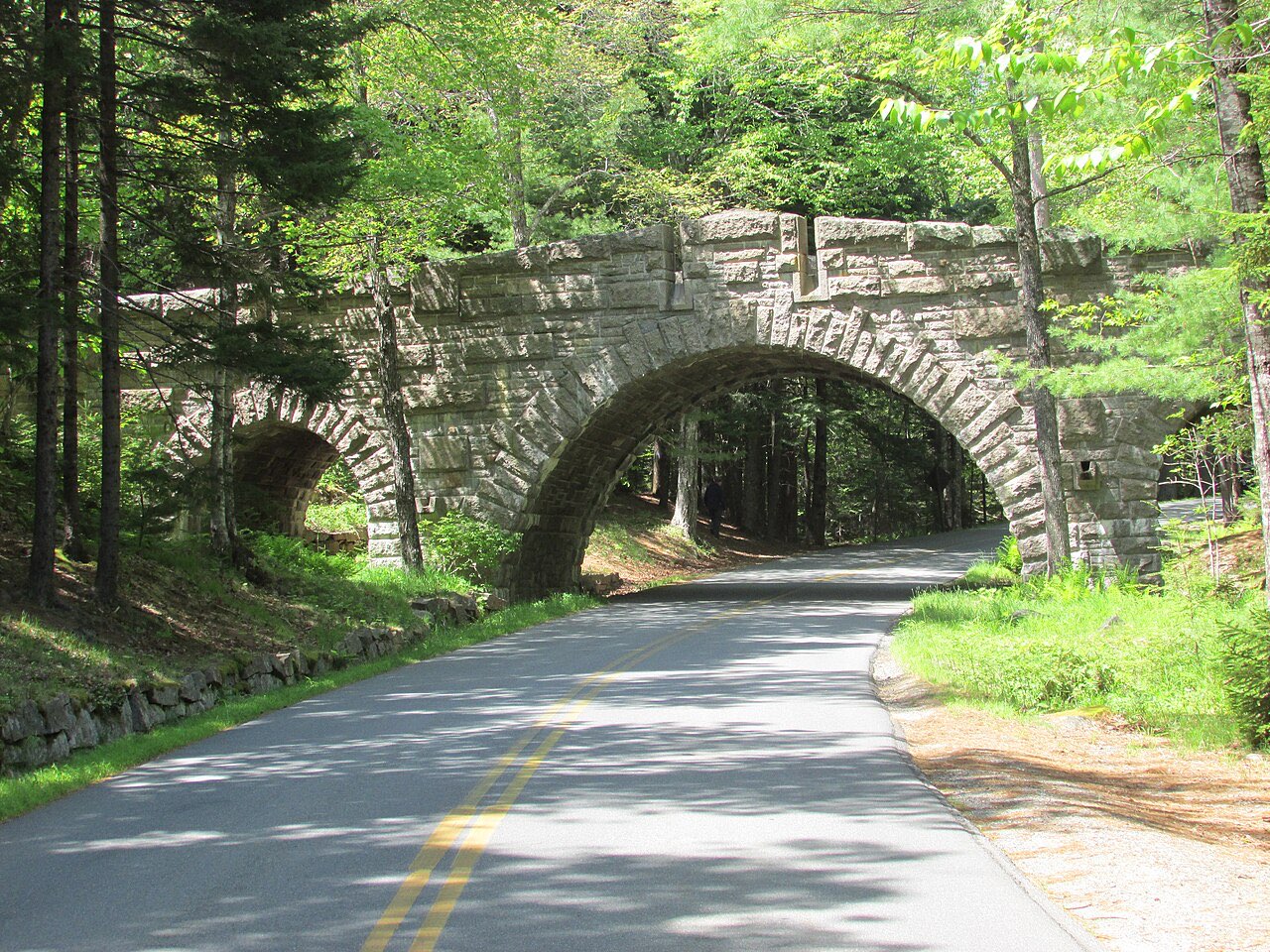
Acadia RV camping: Blackwoods and Seawall's 35-foot sites, Schoodic Woods' electric loop for rigs to 70 feet, Park Loop Road bridge heights and the Cadillac rule.
Updated Oct 2026 - Arches and Moab RV Camping: Where Rigs Actually Fit
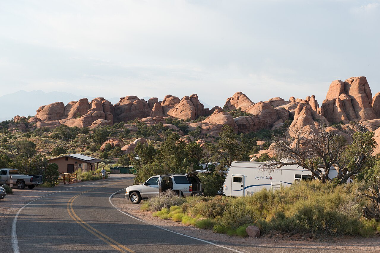
Arches and Moab RV camping: Devils Garden's per-site limits up to 40 feet, no timed entry in 2026, $20 BLM campgrounds, Dead Horse Point hookups and where to dump.
Updated Oct 2026 - Assateague Island RV Camping: National vs State Park
Assateague Island RV camping: NPS Oceanside and Bayside sites vs the state park's 30-amp loops, the Virginia side's no-camping rule, fees and OSV closures.
Updated Oct 2026