Sequoia and Kings Canyon RV Limits on the Generals Highway
In this guide
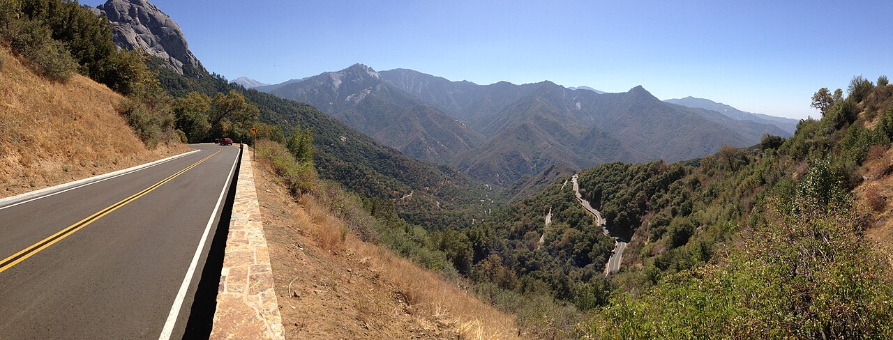
The Generals Highway between Potwisha Campground and the Giant Forest Museum is the stretch that decides your Sequoia trip. The NPS prohibits single vehicles over 40 feet on it and advises against anything over 22 feet, and the 24 feet from the Foothills Visitor Center up to Potwisha is only slightly more forgiving. That is the Highway 198 approach from Three Rivers, with hairpins and a 5,000-foot climb in a few miles, and it is the reason the park tells RVs to come in the other way: through the Big Stump entrance on Highway 180 from Fresno, then south along the upper Generals Highway to Lodgepole and the big trees without ever touching the tight section.
Do that, and the parks are workable for most rigs. There are no hookups anywhere, dump stations at three campgrounds, and sites that range from 20-foot pads to a few that take 60-foot combinations. The figures here are from the NPS oversized-vehicle page (updated September 2025), the road information page (updated July 2026), the park’s campground data and Recreation.gov, read in October 2026. Length limits here are safety rules on a 1920s mountain road; confirm them on the NPS page before you drive, and never round them up.
Every official length rule, in one table
| Road or section | Rule | Type |
|---|---|---|
| Generals Highway, Potwisha Campground to Giant Forest Museum | Over 40 ft single vehicle: prohibited. Over 22 ft: not advised | Prohibition + advisory |
| Generals Highway, Foothills Visitor Center to Potwisha | Over 24 ft: not advised | Advisory |
| Generals Highway, Lodgepole to Grant Grove (upper section) | No length rule; unplowed and often closed Friday after Jan 1 to third Friday in March | Seasonal |
| Highway 180, Big Stump entrance to Grant Grove | No length rule; “preferred route for longer vehicles” | Recommended |
| Highway 180, Grant Grove to Cedar Grove | No length rule; open about fourth Friday in April to mid-November | Seasonal |
| Moro Rock / Crescent Meadow Road | Over 22 ft single vehicle: prohibited. All towing: prohibited. Closed to private cars summer weekends and holidays (shuttle) | Prohibition |
| Crystal Cave Road | Over 22 ft: prohibited | Prohibition |
| Panoramic Point Road (Grant Grove) | RVs and trailers prohibited | Prohibition |
| Mineral King Road | Over 40 ft single vehicle: prohibited. RVs and trailers not recommended; not permitted in Mineral King campgrounds | Prohibition + advisory |
Source: NPS oversized-vehicle and road information pages, October 2026. “Not advised” is the park’s wording; rangers do not turn back a 30-foot motorhome at Potwisha, but the park has said the same section is not recommended even for tow trucks.
The NPS describes the difficult part as a 16-mile section built in the early 1920s (another park page calls the advisory zone the 12 narrow miles from Potwisha to the museum). Either way it is narrow, with rock walls on one side and drop-offs on the other, tight radii that put a long wheelbase across the centerline, and no place to turn around once you have committed. A 24-foot Class C handles it; a 35-foot Class A with a toad is legal and miserable; a 45-foot coach is prohibited.
Why Highway 180 is the RV entrance
From Fresno, Highway 180 climbs to the Big Stump entrance in about an hour and a quarter, and the NPS calls it the preferred route for longer vehicles. It is a modern two-lane highway with ordinary mountain grades, and it delivers you to Grant Grove at 6,500 feet. From there:
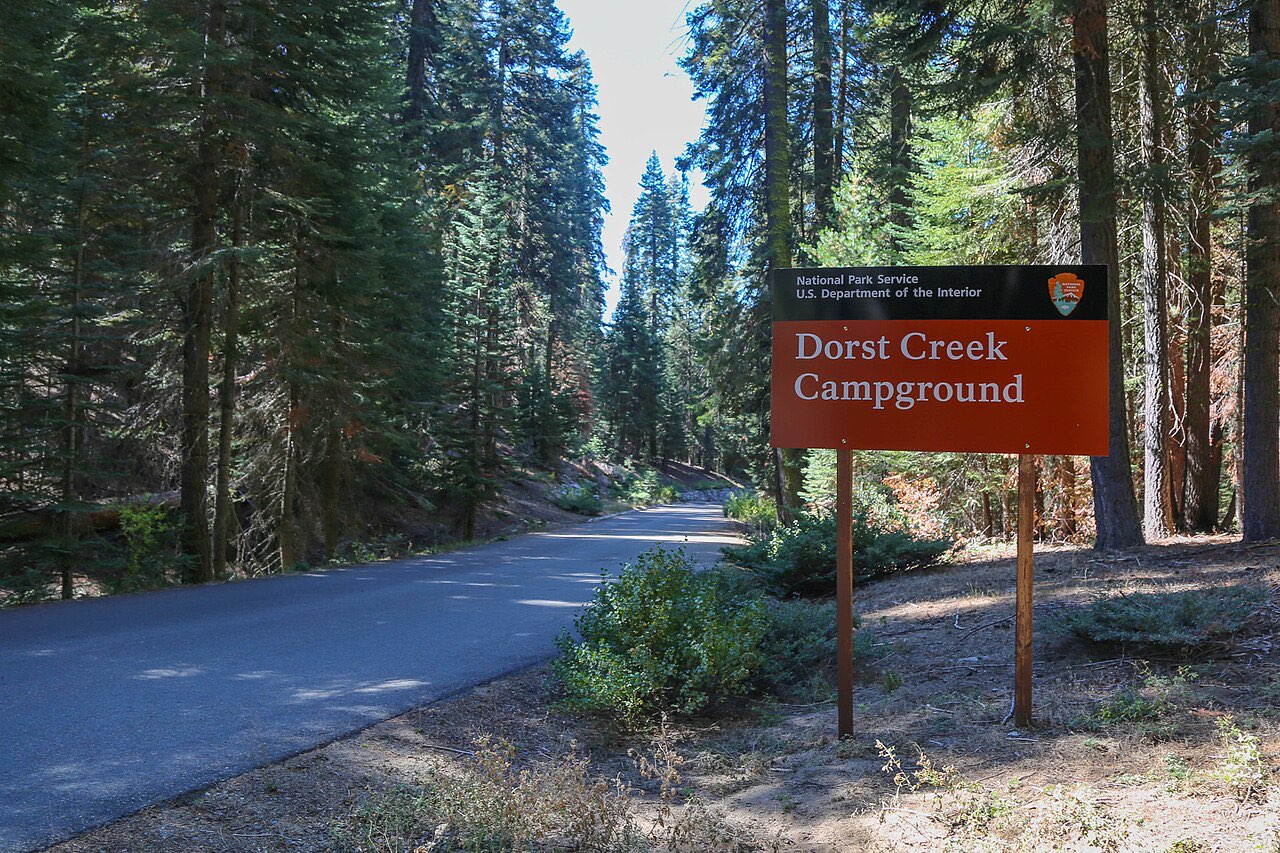
- South to Sequoia: the upper Generals Highway runs about 25 miles to Lodgepole and another two to the General Sherman Tree, with Dorst Creek halfway. This section has no length rule. You see the Giant Forest, Sherman, the Lodgepole area and (in a short vehicle) Moro Rock without descending the tight section at all.
- East to Cedar Grove: Highway 180 continues roughly 30 miles down into Kings Canyon to Cedar Grove Village and Road’s End, open late April to mid-November. The NPS advises long RVs to drive to Road’s End, turn around there, and visit Roaring River Falls and Zumwalt Meadow on the way back, because the turnouts for those stops are easier to enter from the east.
The Highway 198 approach from Visalia is an hour to the Ash Mountain entrance and then the climb. If you are under 22 feet it is the quicker way to Potwisha and the Foothills, and a fine drive. If you are over 22 feet and determined, go up early in the morning when there is little oncoming traffic, keep to the inside of curves, and do not attempt it towing.
In winter the choice is made for you: the upper Generals Highway between Lodgepole and Grant Grove is unplowed and typically closed from early January to mid-March, so Sequoia (via 198) and Kings Canyon (via 180) become two separate trips, and chains can be required on either road whenever it snows.
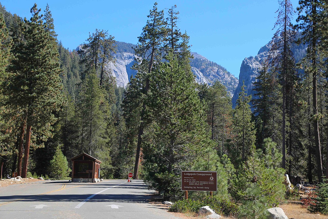
Campgrounds that take RVs, 2026
All standard sites are $32 a night ($16 with a Senior or Access pass) and all are reservation-only on Recreation.gov in season. Booking windows differ by campground, which is unusual and worth noting.
| Campground | Area / elevation | Sites | RV length (NPS and Recreation.gov) | Dump | Season | Booking window |
|---|---|---|---|---|---|---|
| Potwisha | Foothills, 2,100 ft | 42 | Under 24 ft advised; some pull-throughs; site lengths listed 22-40 ft | Yes, free, year-round | All year | 4 months |
| Lodgepole | Giant Forest, 6,700 ft | 214 | About 5 sites for ~40 ft; most RV sites 20-30 ft; 90 pads at 19 ft | Yes, seasonal | Wed before Memorial Day; loops close Sept-Dec in phases | 4 months, opens January |
| Dorst Creek | Between the parks, 6,800 ft | 222 + 4 group | “Nearly any length,” pull-throughs; sites to 50 ft | Yes, seasonal | Mid-June to Labor Day; not taking reservations in 2026 (storm damage) | 1 month |
| Azalea | Grant Grove, 6,500 ft | 110 | Varies; site 93 to 47 ft; many 35-45 ft | No (Princess CG, USFS) | All year; 20 first-come sites Nov-Apr | 4 months May-Oct |
| Sunset | Grant Grove, 6,500 ft | 158 | Varies; most pads 20-25 ft, a few to 47 | No | Late May to week after Labor Day | 1 month |
| Crystal Springs | Grant Grove, 6,500 ft | 35 | Varies; feed lists 25 ft | No | Late May to late Sept | 2 days |
| Sentinel | Cedar Grove, 4,600 ft | 82 | Average 20-30 ft; largest 82 ft | No (Princess CG) | Late April to late Oct | 4 months, opens January |
| Sheep Creek | Cedar Grove | 111 | Average 20-30 ft; a few 90+ ft | No | Late May to early Sept | 1 month |
| Moraine | Cedar Grove | 121 | Varies; sites 16-66 ft | No | Late May to early Sept | 1 month |
| Buckeye Flat, Atwell Mill, Cold Springs, Canyon View, Crystal Springs group, South Fork | Foothills, Mineral King, Cedar Grove | No RVs or trailers (South Fork closed indefinitely) |
Sources: NPS campground data and Recreation.gov site inventories, October 2026.
A few notes on the table. Potwisha’s 24-foot figure is the road advisory for reaching it, not a campground rule; the campground has sites listed to 40 feet and a free year-round dump station across the highway, which makes it the natural dump stop for anyone leaving via 198 in a short rig. Lodgepole’s “about five” 40-foot sites are the whole supply of long sites in the Giant Forest area while Dorst Creek is closed, and they go the day the four-month window opens in January. Dorst Creek is the parks’ real big-rig campground, with pull-throughs that Recreation.gov lists to 50 feet, but it was closed to reservations in 2026 for storm-damage repair and had no announced reopening date; check it first for 2027.
Grant Grove and Cedar Grove are the easiest places to find a long site. Azalea is open all year, with winter reduced to 20 first-come sites paid through the Recreation.gov app (install it before you lose signal), and its generator hours, 9 am to 9 pm, are the loosest in the parks. Sentinel and Sheep Creek in Cedar Grove average 20 to 30 feet but each has a handful of sites over 60 feet; the NPS warns that it cannot move you if you book one you do not fit, so measure. None of the Grant Grove or Cedar Grove campgrounds has a dump station; the park sends everyone to the Forest Service’s Princess Campground at the Hume Lake junction on Highway 180, summer only. We did not verify Princess’s fee or dates.
Hookups, dump stations, generators and bears
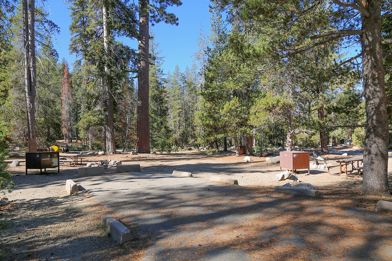
No hookups at any campground in either park. Dump stations at Potwisha (free, year-round), Lodgepole and Dorst Creek (seasonal). Generators are allowed 9 am to 9 pm generally, but only 8 to 11 am and 5 to 8 pm at Lodgepole and Dorst Creek; quiet hours are 10 pm to 6 am. The campground regulations also require all four wheels on pavement and payment within 30 minutes of arrival at first-come sites.
The parks are active black-bear country and the rules apply to RVs too: food and scented items go in the metal locker at each site or inside the RV, never in a car or truck, and rangers remove improperly stored food and issue fines. A hard-sided motorhome counts as proper storage; a pop-up or soft-sided camper does not. Nights at Lodgepole and Grant Grove drop below freezing in May and October, so plan on furnace use and a full propane tank, since there is no shore power to run a space heater. If you want to dump on the way out and have never done it, our sister site has a step-by-step dump station guide.
Parking a rig in the parks
The NPS lists designated oversize parking at the General Sherman Tree main lot (ask about winter RV options), the upper lot across the highway from the Giant Forest Museum, in front of the Lodgepole visitor center and market with overflow past the campground entrance, Wolverton picnic area (the only Giant Forest picnic area long RVs can reach), across the road from the Foothills Visitor Center, the north end of Grant Grove Village by the market, limited spaces at the Grant Tree trail, the Columbine and Big Stump picnic areas, and both Cedar Grove Visitor Center lots. The small lot and shuttle stop south of the Giant Forest Museum are off-limits to oversize vehicles.
In summer the free Sequoia Shuttle connects Lodgepole, Sherman, the museum, Moro Rock and Crescent Meadow, and is the only way to reach the last two on weekends and holidays, when the road is closed to private cars. Park the rig at the Lodgepole campground or the Sherman lot and ride.
Which route and campground for which rig
| Rig | Enter via | Camp at | Notes |
|---|---|---|---|
| Van, truck camper, Class B or trailer under 22 ft | Either; 198 is quicker to the foothills | Potwisha (year-round, dump), Lodgepole, Buckeye Flat is tents only | The only rigs that can also drive Moro Rock and Crystal Cave roads |
| Class C or trailer 22-30 ft | Highway 180 | Lodgepole, Azalea, Sunset, Sentinel | Legal on 198 but not advised; 180 removes the stress |
| Motorhome 30-40 ft, or any combination over 30 ft | Highway 180 | Lodgepole 40-ft sites (book in January), Azalea long sites, Dorst Creek when it reopens, Cedar Grove long sites | Dump at Lodgepole or Princess; unhitch for everything else |
| Single vehicle over 40 ft | Highway 180 only | Azalea or Cedar Grove long sites; otherwise Three Rivers, Hume Lake area or Fresno-side RV parks | Prohibited below Giant Forest Museum; the upper Generals Highway is fine |
| Winter visit | 180 for Kings Canyon, 198 for Sequoia | Azalea first-come loop, Potwisha | Parks not connected by road Jan-Mar; carry chains |
Sequoia’s tight section is the same problem as Yosemite’s valley roads and tunnels in a different form; our Yosemite RV guide covers the park most people pair with it, and the national park RV size limits table lines the Generals Highway up against Zion’s tunnel and Glacier’s Going-to-the-Sun Road. Entry is $35 per vehicle for seven days and covers both parks; an America the Beautiful pass makes sense on any Sierra loop.
Mistakes to avoid
- Navigating to “Sequoia National Park” in a 35-foot coach. Most apps route through Three Rivers and Highway 198. Set Big Stump entrance or Grant Grove as the destination.
- Towing anything to Moro Rock or Crystal Cave. Both roads are closed to towing and to vehicles over 22 feet, with no turnaround.
- Booking Lodgepole on the campground ceiling. Ninety of its pads are 19 feet. Filter by your length; the five 40-foot sites are gone within hours of release.
- Planning around Dorst Creek without checking. Closed for 2026; reopening not announced when we checked.
- Arriving at Grant Grove or Cedar Grove needing to dump. No stations; Princess Campground is summer-only and outside the park.
- Crossing between the parks in February. The Lodgepole-Grant Grove section is unplowed and usually closed; it is a 100-plus-mile detour through the valley.
- Leaving food in the tow vehicle. Bears open cars; the fine is real and the locker is free.
When to go and how long
Late May to mid-October is the RV season, when Highway 180 to Cedar Grove and the upper Generals Highway are both open and every campground is taking bookings. June has snowmelt waterfalls in Kings Canyon and cool nights; July and August fill every site and the Moro Rock shuttle; September is quieter and warm. Three nights at Lodgepole or Azalea covers the Giant Forest, Sherman, Moro Rock by shuttle and the Grant Grove trees; add two at Sentinel or Sheep Creek for Cedar Grove, where the canyon floor is 2,000 feet lower and ten degrees warmer. With a rig over 22 feet, the whole trip happens north of the Giant Forest Museum, and you will not miss anything that matters by skipping the foothills road.
Gear that helps at Sequoia and Kings Canyon
As an Amazon Associate we earn from qualifying purchases.
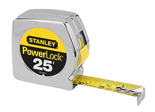 Stanley 25 ft Tape Measure: Measure your rig nose to tail, including the tow vehicle, before you choose a route or a site.
 Garmin RV 795 GPS Navigator: Routes by the rig dimensions you enter, which helps when picking the Highway 180 approach; still follow the park’s posted advisories.$434.99Price as of November 16, 2026, 9:59 AM ET. Prices and availability are accurate as of the date/time indicated and are subject to change.
- VTOMAN Jump 600X Portable Power Station: There are no hookups anywhere in the parks, and a power station covers charging without a generator.
Frequently asked questions
What is the vehicle length limit on the Generals Highway in Sequoia?
Two different numbers, per the NPS oversized-vehicle page (updated September 2025). Single vehicles over 40 feet are prohibited between Potwisha Campground and the Giant Forest Museum. Below that, vehicles over 22 feet are not advised on the same stretch, and vehicles over 24 feet are not advised between the Foothills Visitor Center and Potwisha. The NPS tells longer vehicles to enter through the Big Stump entrance on Highway 180 instead.
Which entrance should an RV use for Sequoia and Kings Canyon?
Highway 180 from Fresno to the Big Stump entrance in Kings Canyon. The NPS calls it the preferred route for longer vehicles. From Grant Grove you can drive the Generals Highway south to Lodgepole and the Giant Forest without touching the tight section below Giant Forest Museum; that section, with its hairpins and 5,000-foot climb, is the Highway 198 approach from Three Rivers that the park advises against for rigs over 22 feet.
Which Sequoia and Kings Canyon campgrounds take big RVs?
Dorst Creek is built for them, with pull-through sites the NPS says fit RVs and trailers of nearly any length and a dump station, but it was not taking reservations in 2026 after storm damage. Lodgepole fits about five RVs of roughly 40 feet and has a seasonal dump station. Azalea in Grant Grove has one site rated to 47 feet, and the Cedar Grove campgrounds (Sentinel, Sheep Creek, Moraine) average 20 to 30 feet with a few very long sites. Potwisha is for rigs under 24 feet. Buckeye Flat, Atwell Mill, Cold Springs and the group campgrounds take no RVs.
Are there RV hookups in Sequoia or Kings Canyon?
No. No campground in either park has electric, water or sewer hookups. Dump stations are at Potwisha (free, year-round), Lodgepole (seasonal) and Dorst Creek (seasonal, when open). The Grant Grove and Cedar Grove campgrounds have none; the NPS points them to the Forest Service's Princess Campground at the Hume Lake junction on Highway 180 in summer.
Can I take a trailer to Moro Rock or Crystal Cave?
No. The Moro Rock/Crescent Meadow Road prohibits single vehicles over 22 feet and all vehicles towing, and is closed to private cars on summer weekends and holidays when the shuttle runs. Crystal Cave Road prohibits vehicles over 22 feet. Panoramic Point Road in Grant Grove prohibits RVs and trailers outright, and Mineral King Road bans single vehicles over 40 feet and is not recommended for any RV or trailer.
When are the park roads closed to RVs by snow?
The Generals Highway between Lodgepole and Grant Grove is unplowed and often closed from the Friday after January 1 to the third Friday in March, so the two parks are not connected by road in winter. Highway 180 beyond the Hume Lake junction to Cedar Grove is open about the fourth Friday in April to mid-November. Chains can be required on any park road whenever it snows, usually late fall through spring; call (559) 565-3341, then 1, 1.
Keep planning
- Glacier National Park RV Size Limits on Going-to-the-Sun Road
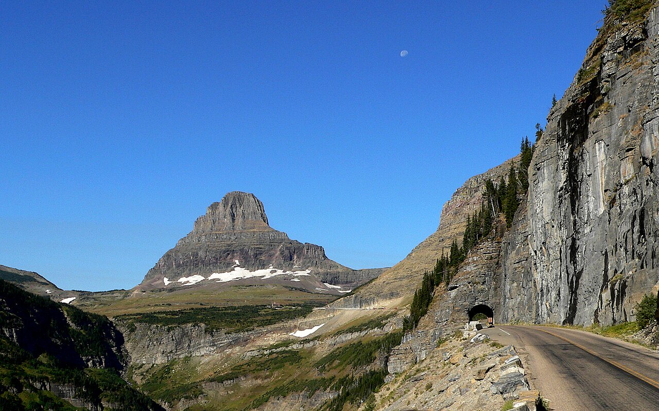
Glacier RV size limits: 21 ft long, 8 ft wide between Avalanche Creek and Rising Sun on Going-to-the-Sun Road, which campgrounds fit 35-40 ft rigs, Logan Pass rules.
Updated Oct 2026 - Zion RV Rules 2026: Size Limits and the Mt. Carmel Route
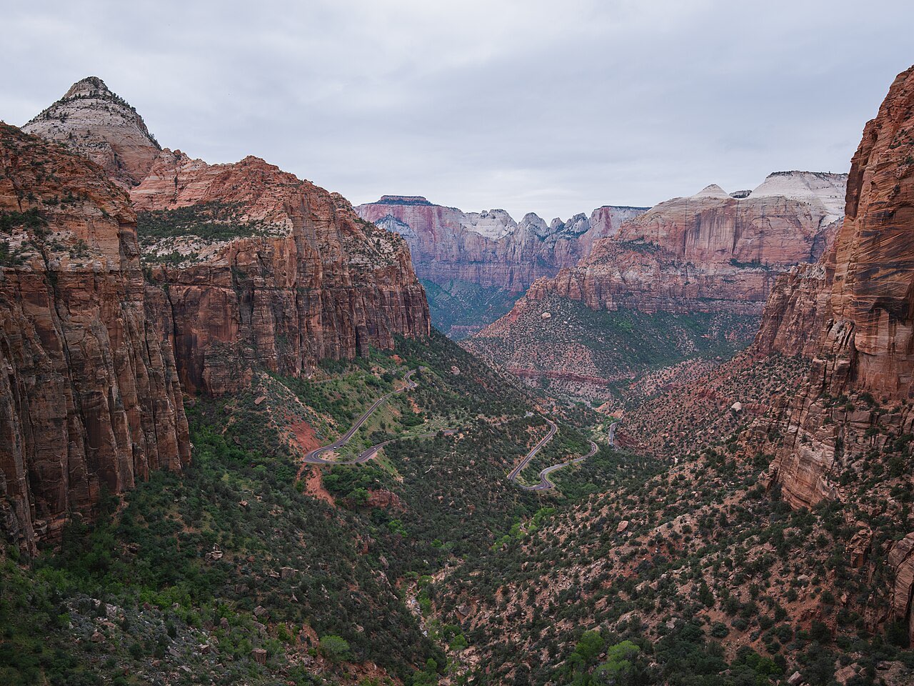
Zion RV size limits since June 2026: 35 ft 9 in single, 50 ft combined, 7 ft 10 in wide, 11 ft 4 in tall on the Mt. Carmel Highway, plus campground fit and detours.
Updated Oct 2026 - Best Black Friday RV and Camping Gear Deals 2026
The best Black Friday deals on RV equipment and camping gear in 2026, including generators, solar panels, water filters and essentials.
Updated Nov 2026